How can satellite technology, community knowledge and early warning systems help pastoral communities make better decisions before drought turns into crisis?
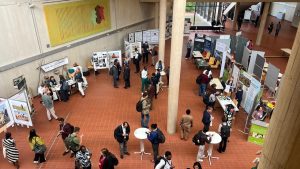
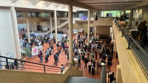
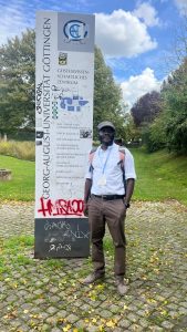
This was at the heart of SCIDA III’s contribution to Tropentag 2026, held at the University of Göttingen in Germany, where the project shared its experience of strengthening drought resilience and sustainable rangeland management across the Karamoja cross-border region.
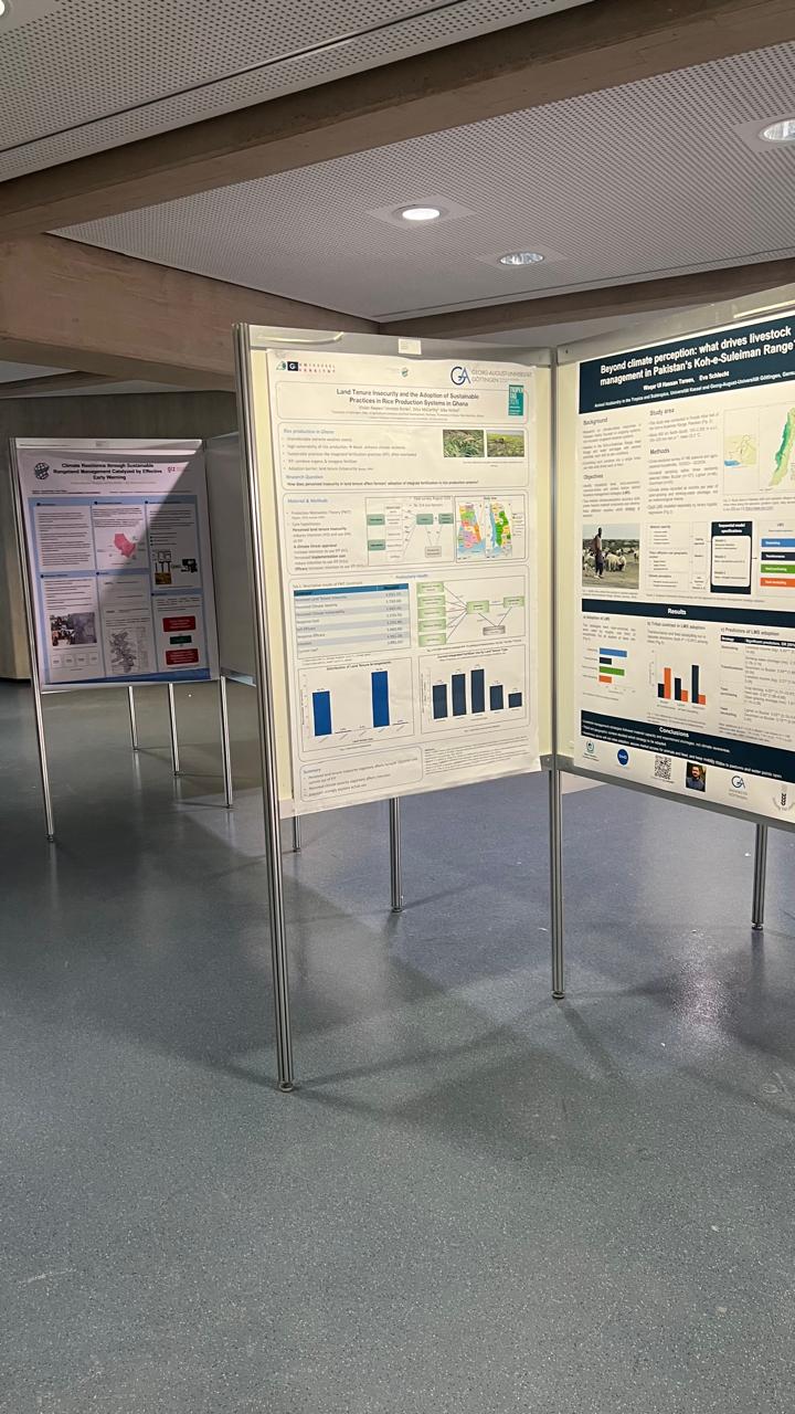
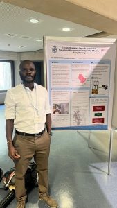
Through a poster presentation titled “Climate Resilience through Sustainable Rangeland Management Catalyzed by Effective Early Warning: Cross-Border Region within IGAD, the Karamoja Cluster,” co-authors Tony Mwaniki and Victor Odipo of GIZ Kenya’s Agriculture and Rural Development Cluster presented an approach that connects Earth Observation technology with local knowledge and practical early warning information. The work is being undertaken through the BMZ-funded Strengthening IGAD’s Capacity to Increase Drought Resilience in the Horn of Africa (SCIDA III) project, implemented by GIZ.
Turning data into decisions
The Karamoja Cluster stretches across the borderlands of northeastern Uganda, northwestern Kenya, southeastern South Sudan and southwestern Ethiopia. It is an arid and semi-arid region where pastoral and agro-pastoral communities depend heavily on access to pasture and water across national borders. Recurrent droughts, ecological pressure and competition over natural resources can intensify mobility and contribute to conflict, making cross-border coordination critical to building resilience.
SCIDA III is addressing this challenge by combining Earth Observation (EO) data with participatory approaches. Multi-sensor satellite information, including vegetation indices such as NDVI, soil moisture and land-cover change, is combined with ground-truthing and indigenous knowledge from pastoral communities. This allows the project to characterize and map transboundary rangelands, assess grazing capacities and identify areas experiencing degradation.
The poster presented this as an “EO-to-action” workflow: satellite information is validated on the ground, analysed and translated into information that can support practical decisions by institutions and communities.
Taking early warning the last mile
Generating accurate information is only part of the solution. A major challenge is ensuring that early warning information actually reaches people in remote areas in a form they can understand and use.
SCIDA III is supporting this last-mile connection through HUSIKA, a multi-layered information management and early warning platform. The system strengthens interoperability with other early warning mechanisms and supports decision-making for communities, including women and young people. Information can be delivered through SMS, a lightweight mobile application and the web, while enabling two-way communication with beneficiaries.
For pastoral communities, this can translate technical climate and rangeland information into decisions that matter directly to livelihoods, such as when and where livestock should move, when early destocking may be necessary, and where nature-based rangeland restoration measures should be prioritised. Seasonal grazing calendars and participatory validation further help connect scientific data with the realities and knowledge of people using the rangelands.
Promising results from the Karamoja Cluster
Results presented at Tropentag showed rangeland monitoring accuracy of more than 85 per cent, alongside improvements in drought-detection lead time and strengthened cross-border coordination among IGAD Member States. These results highlight the value of combining technology with participation. Rather than treating satellite data as a stand-alone technical product, the approach integrates Earth Observation with local validation, pastoral knowledge and mechanisms for delivering information to the people who need it most.
The work contributes to three interconnected areas highlighted during the conference: sustainable rangeland management, climate-change adaptation and mitigation, and technology, data and knowledge systems.
From Karamoja to wider dryland regions
Participation at Tropentag 2026 provided SCIDA III with an opportunity to share its experience with an international community of agricultural researchers, development practitioners and partners, while demonstrating how regional institutions and communities can work together to translate climate information into practical resilience measures.
The experience from Karamoja also offers lessons beyond the cluster. The project’s approach shows the potential of EO-driven, participatory rangeland management combined with last-mile early warning to strengthen resilience in dryland agro-ecosystems, with lessons that can be adapted across other IGAD cross-border clusters and tropical rangelands.
For SCIDA III, the message shared in Göttingen was clear: effective climate resilience is not only about having better data. It is about ensuring that reliable information reaches communities early enough, and in a form they can use to make informed decisions about their livelihoods, livestock and natural resources.